MIT Libraries logoDome

MIT
View Item 
  • Dome Home
  • Visual Collections
  • Architecture in Hyderabad, India
  • View Item
  • Dome Home
  • Visual Collections
  • Architecture in Hyderabad, India
  • View Item
JavaScript is disabled for your browser. Some features of this site may not work without it.

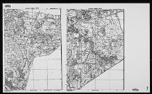
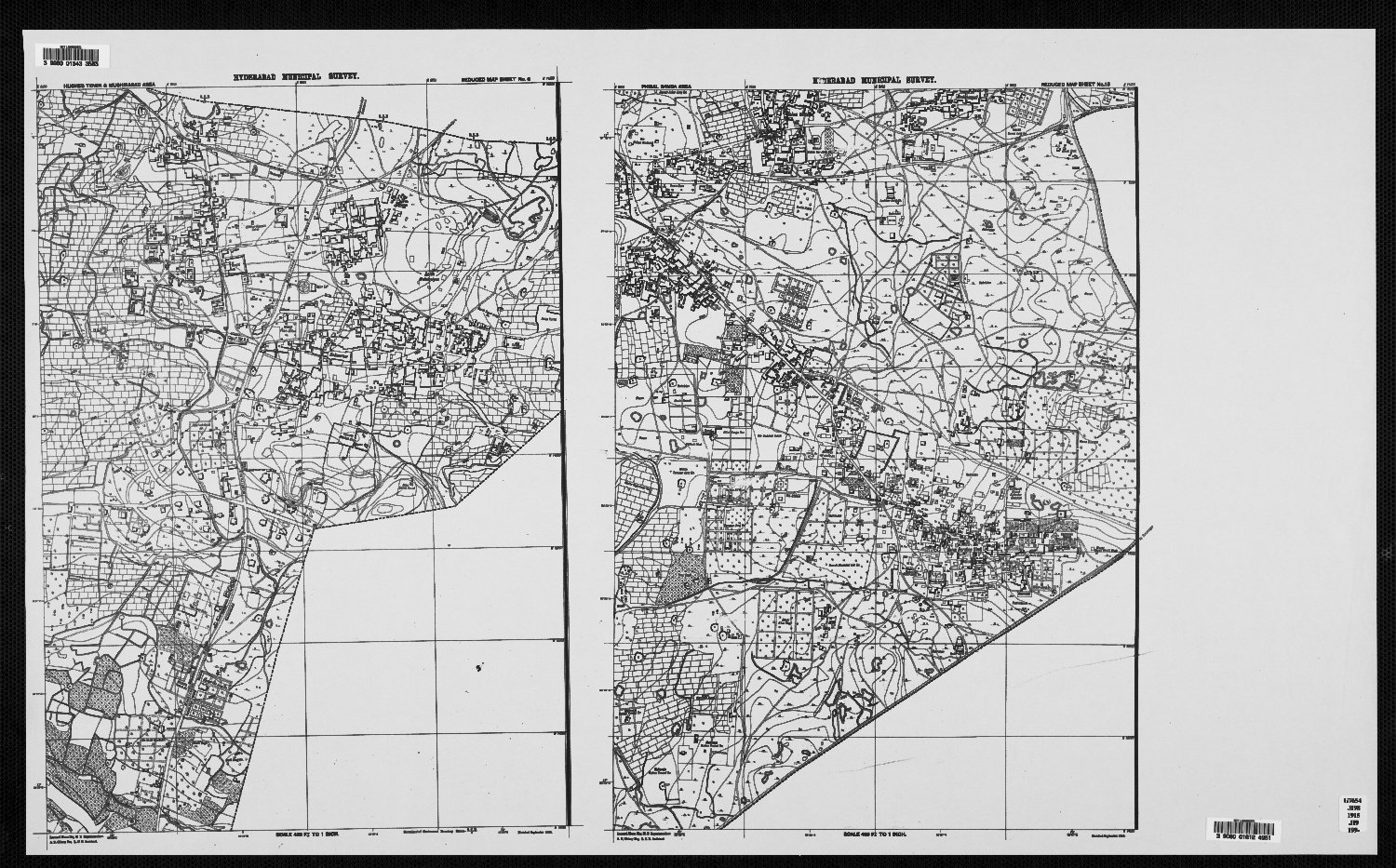
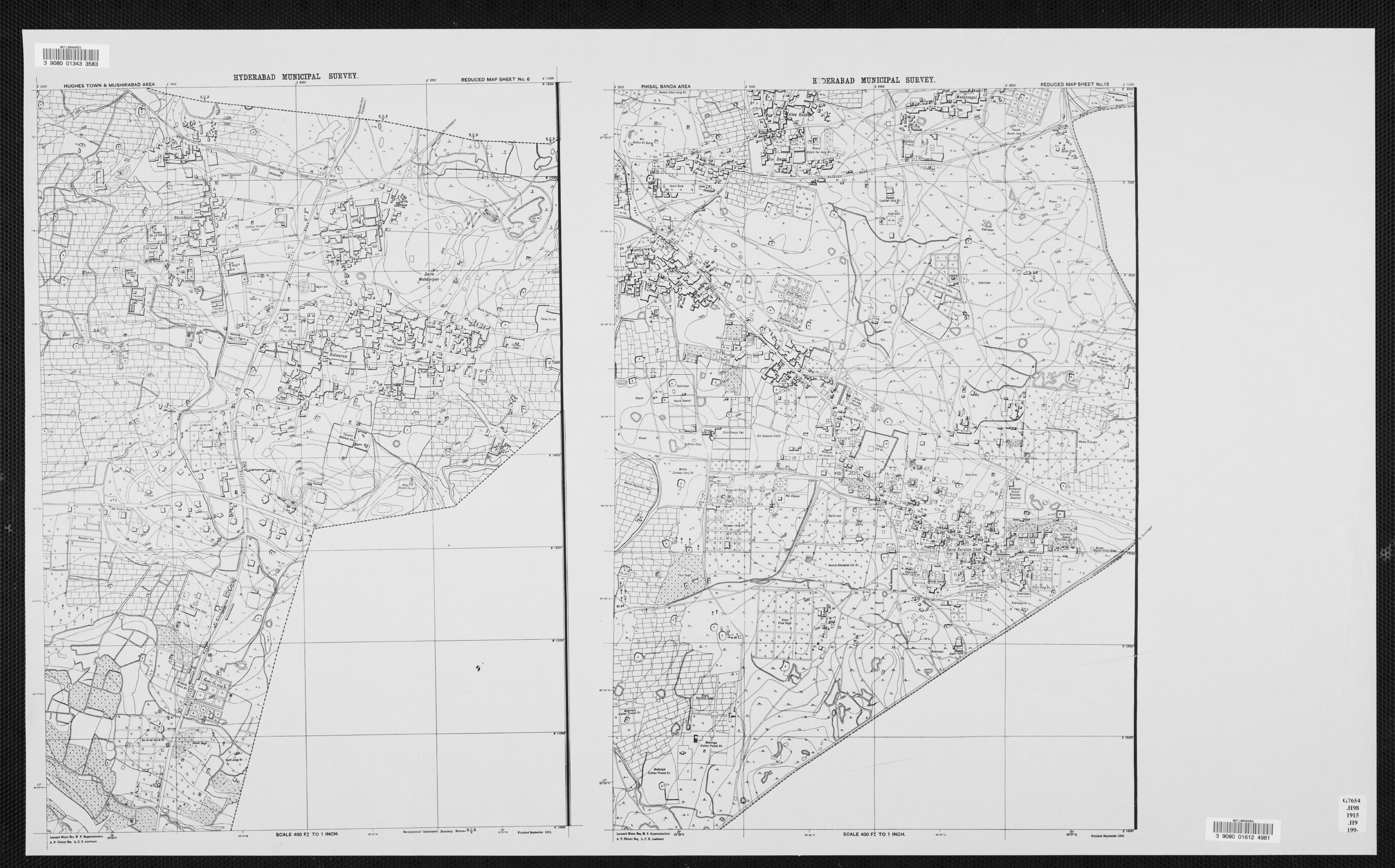
Reduced Map Sheet no. 6, Hughes Town & Mushirabad Area

Munn, Leonard
Thumbnail
Download113054_cp.jpg (728.3Kb)
Alternate file
113054_sv.jpg (1.879Mb)
113054_tm.jpg (13.30Kb)
Alternative Title
Reduced Map Sheet no. 15, Phisal Banda Area
URI
http://hdl.handle.net/1721.3/45467
Date
1915
Description
full view, Reduced Map Sheet nos. 6 & 15, with Maharaja Kishan Prasad Br. visible
Type of Work
Map
Subject
Cartography, Maps, Urban planning, Islamic cities and towns, Architecture, Islamic --India, Surveys, Historical geography --Maps, Hyderabad (India)
Item is Part of
131766131767
Metadata
Show full item record

Collections
  • Architecture in Hyderabad, India

Browse

All of DomeCommunities & CollectionsBy Issue DateCreatorsTitlesSubjectsThis CollectionBy Issue DateCreatorsTitlesSubjects

My Account

Login
MIT Libraries
PrivacyPermissionsAccessibilityContact us
MIT
Content created by the MIT Libraries, CC BY-NC unless otherwise noted. Notify us about copyright concerns.