MIT Libraries homeMIT Libraries logoDome

MIT
View Item 
  • Dome Home
  • Visual Collections
  • Architecture in Hyderabad, India
  • View Item
  • Dome Home
  • Visual Collections
  • Architecture in Hyderabad, India
  • View Item
JavaScript is disabled for your browser. Some features of this site may not work without it.

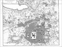
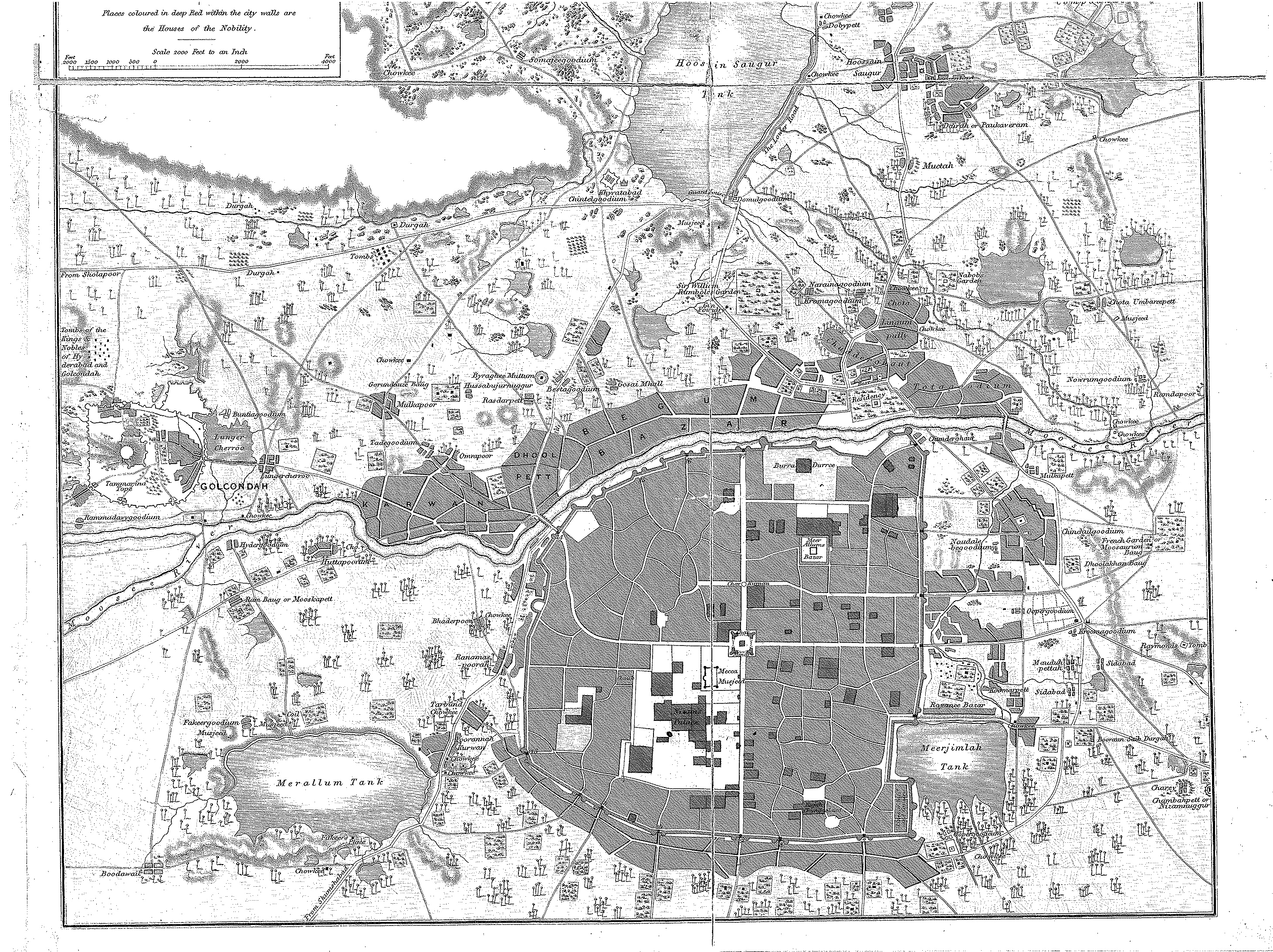
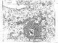
Plan of the City and Environs of Hyderabad

cartographer: Pharaoh and Co. (Indian (South Asian), 19th century)
Thumbnail
Download118968_cp.jpg (1.256Mb)
Alternate file
118968_sv.jpg (4.908Mb)
118968_tm.jpg (18.33Kb)
118968.tif (923.3Kb)
URI
http://hdl.handle.net/1721.3/27199
Description
detail, bottom portion of map
Type of Work
Map
Subject
Cartography, India, Mughal, Islamic cities and towns, Historical geography --Maps, Land use, Urban, Hyderabad (India)
Item is Part of
130031
Metadata
Show full item record

Collections
  • Architecture in Hyderabad, India

Browse

All of DomeCommunities & CollectionsBy Issue DateCreatorsTitlesSubjectsThis CollectionBy Issue DateCreatorsTitlesSubjects

My Account

LoginRegister
MIT Libraries homeMIT Libraries logo

Find us on

Twitter Facebook Instagram YouTube RSS

MIT Libraries navigation

SearchHours & locationsBorrow & requestResearch supportAbout us
PrivacyPermissionsAccessibility
MIT
Massachusetts Institute of Technology
Content created by the MIT Libraries, CC BY-NC unless otherwise noted. Notify us about copyright concerns.