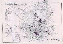
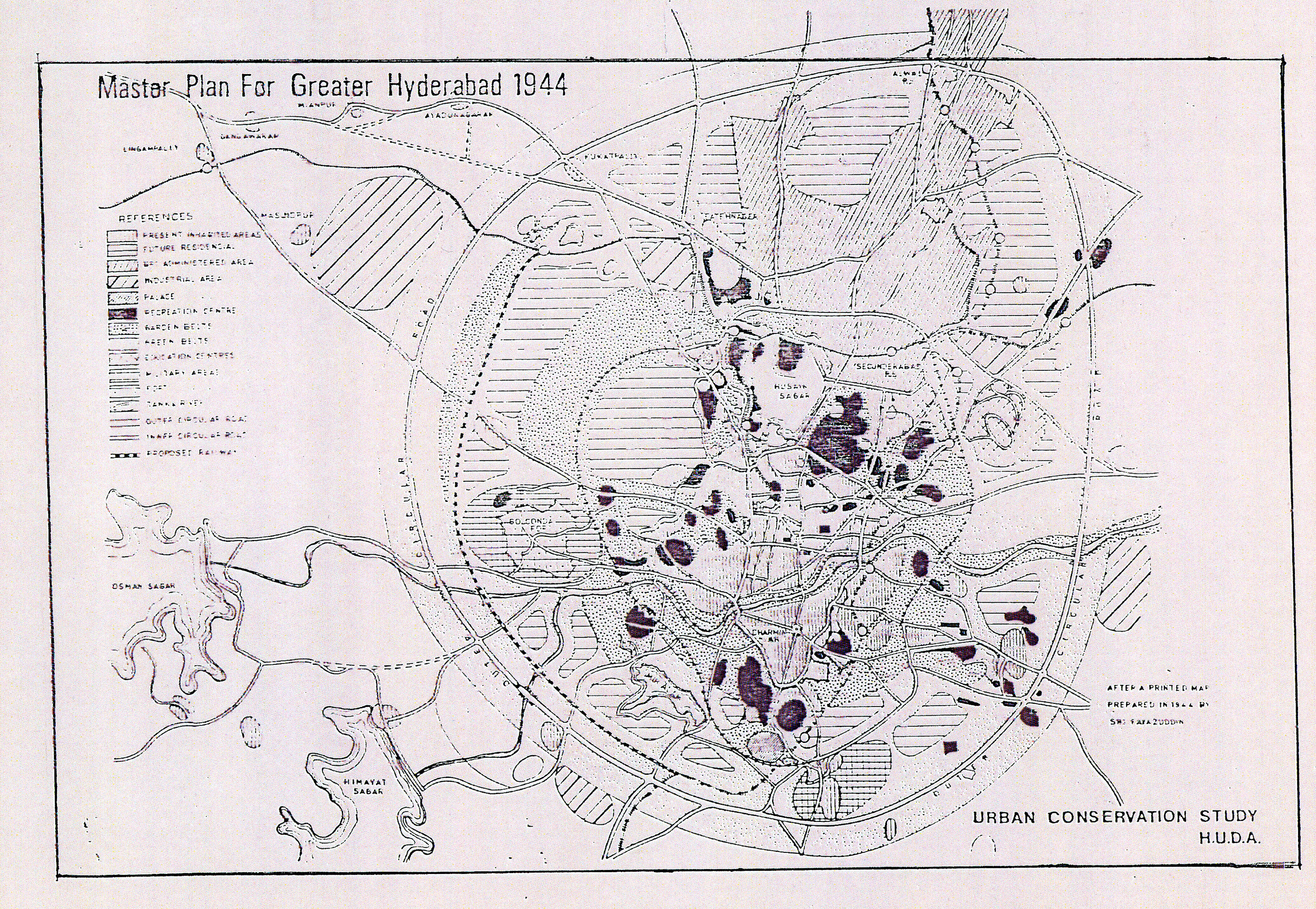
Master Plan for Greater Hyderabad 1944
Download109539_cp.jpg (2.370Mb)
Description
full view, showing present and proposed residential, administrative, industrial, military, palace areas; recreational center and education areas; green belt; fort; outer & inner circular roads and railway line
Type of Work
MapSubject
Cartography, India, Islamic cities and towns, Historical geography --Maps, Land use, Urban, City planning, Urban planning and environment, Hyderabad (India), Plans (maps)
Rights Statement
All rights reserved
Item is Part of
130038