| dc.coverage.spatial | Site: Cape Town (South Africa) | en_US |
| dc.coverage.temporal | creation date: created as a coloured township under the apartheid government, 1972-1974 | en_US |
| dc.creator | Unknown | en_US |
| dc.date | 1972-1974 | en_US |
| dc.date.accessioned | 2013-01-14T16:09:22Z | |
| dc.date.available | 2013-01-14T16:09:22Z | |
| dc.date.issued | 1972-1974 | en_US |
| dc.identifier | 175343 | en_US |
| dc.identifier.uri | http://hdl.handle.net/1721.3/91095 | |
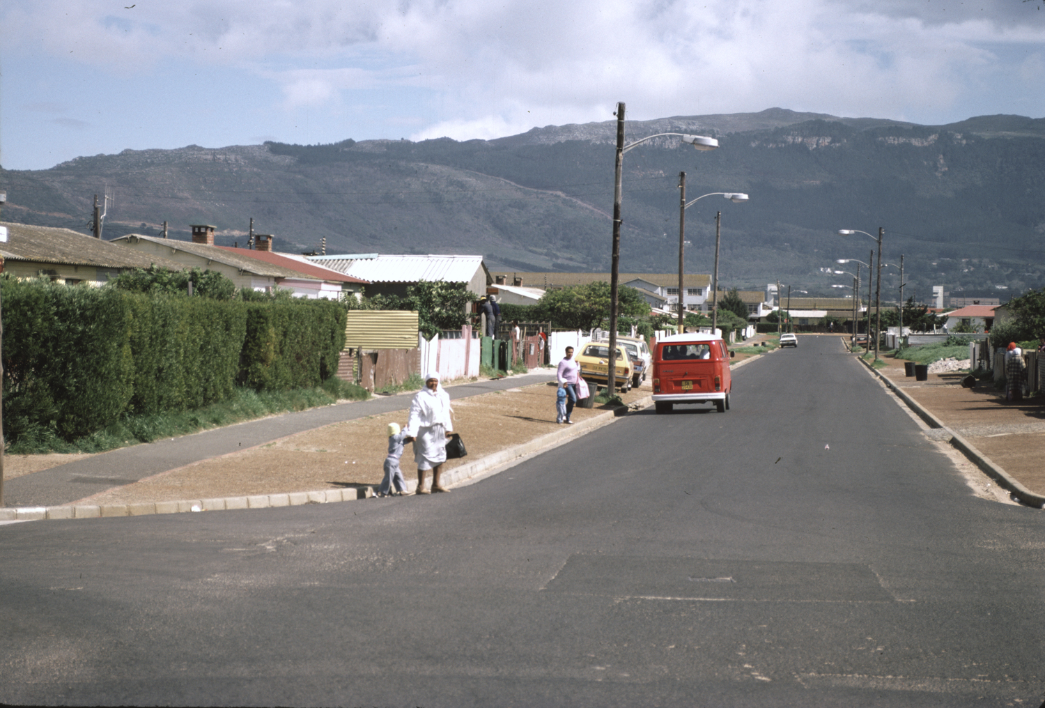
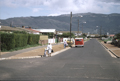
| dc.description | A coloured township under the apartheid government in the Cape Flats area. | en_US |
| dc.description | general view, view from Dar al-Rahman Masjid down street, showing housing, 1986 | en_US |
| dc.relation.ispartof | 142947 | en_US |
| dc.rights | (c) 1986 Mohgamat Phaldie Taliep | en_US |
| dc.subject | Apartheid | en_US |
| dc.subject | Suburbs | en_US |
| dc.subject | Neighborhoods | en_US |
| dc.subject | Land use, Urban | en_US |
| dc.subject | Architecture--South Africa | en_US |
| dc.subject | Cape Flats (South Africa) | en_US |
| dc.subject | Mountains | en_US |
| dc.subject | Houses | en_US |
| dc.subject | Streetscapes | en_US |
| dc.subject | Architecture, Domestic | en_US |
| dc.subject | Housing | en_US |
| dc.title | Township of Lavender Hill | en_US |
| dc.type | Image | en_US |
| dc.rights.access | All rights reserved | en_US |
| dc.identifier.vendorcode | 30-5 | en_US |
| vra.culturalContext | South African | en_US |
| vra.worktype | Township | en_US |
| dc.contributor.display | South African | en_US |