| dc.coverage.temporal | other date: dates depicted in map, 1486-1700, creation date: ca. 1978 | en_US |
| dc.creator | Schwartzberg, Joseph E. | en_US |
| dc.date.accessioned | 2009-03-03T15:31:19Z | |
| dc.date.available | 2009-03-03T15:31:19Z | |
| dc.identifier | 125682 | en_US |
| dc.identifier.uri | http://hdl.handle.net/1721.3/36574 | en_US |
| dc.description | full view | en_US |
| dc.format.medium | paper (fiber product) | en_US |
| dc.format.medium | ink | en_US |
| dc.relation.ispartof | 136904 | en_US |
| dc.rights | (c) Prataap Patrose, Courtesy of the Aga Khan Visual Archive, MIT | en_US |
| dc.subject | Cartography | en_US |
| dc.subject | Maps | en_US |
| dc.subject | World maps | en_US |
| dc.subject | Trade routes | en_US |
| dc.subject | Commerce --History | en_US |
| dc.subject | International trade | en_US |
| dc.subject | Historical geography --Maps | en_US |
| dc.subject | Topographic maps | en_US |
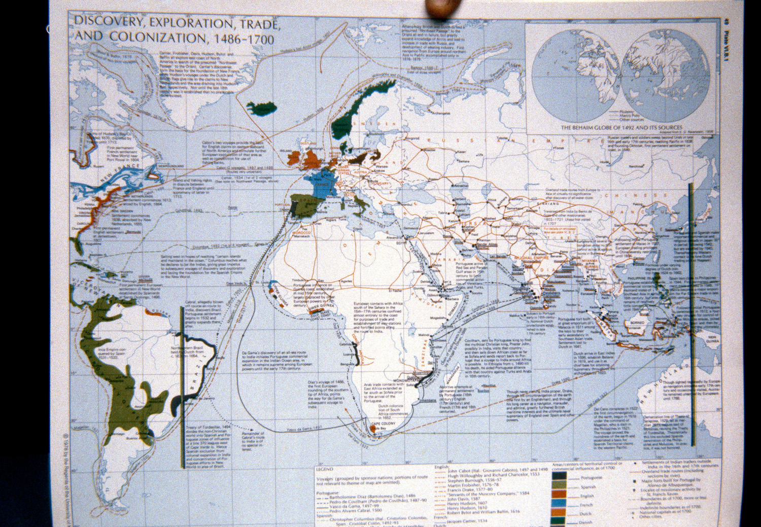
| dc.title | Discovery, Exploration, Trade, and Colonization, 1486-1700 | en_US |
| dc.type | Image | en_US |
| dc.rights.access | All rights reserved | en_US |
| dc.identifier.vendorcode | 43-16 | en_US |
| vra.culturalContext | American | en_US |
| vra.technique | cartography | en_US |
| vra.worktype | Map | en_US |
| dc.contributor.display | cartographer: Joseph E. Schwartzberg (American, 1928-) | en_US |