
The Mughal Empire: Politcal 1601
| dc.coverage.temporal | other date: date depicted in map, 1601, creation date: ca. 1982 | en_US |
| dc.creator | Unknown | en_US |
| dc.date.accessioned | 2009-02-06T18:01:57Z | |
| dc.date.available | 2009-02-06T18:01:57Z | |
| dc.identifier | 121741 | en_US |
| dc.identifier.uri | http://hdl.handle.net/1721.3/33462 | en_US |
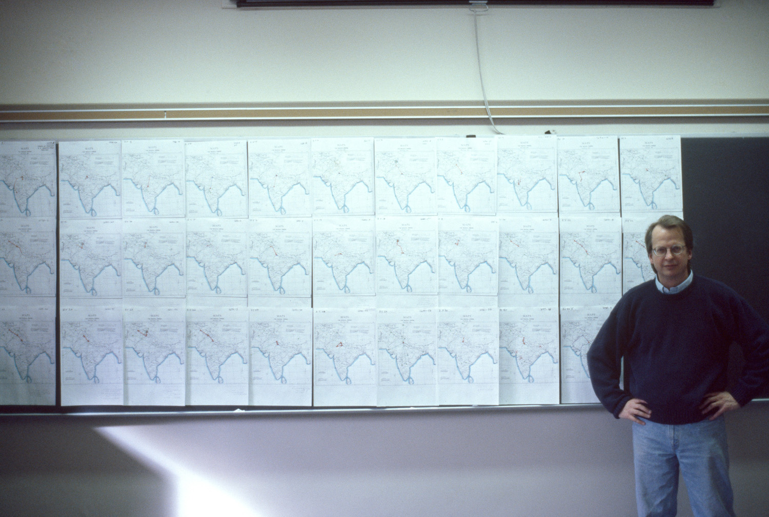
| dc.description | comparative material, Professor Jim Wescoat pictured with series of maps | en_US |
| dc.format.medium | paper (fiber product) | en_US |
| dc.format.medium | ink | en_US |
| dc.relation.ispartof | 137262 | en_US |
| dc.rights | (c) James Wescoat | en_US |
| dc.subject | Islamic cities and towns | en_US |
| dc.subject | Mogul Empire | en_US |
| dc.subject | Historical geography --Maps | en_US |
| dc.subject | Southeast Asia | en_US |
| dc.subject | India -- Maps | en_US |
| dc.subject | Teaching | en_US |
| dc.subject | Blackboards | en_US |
| dc.title | The Mughal Empire: Politcal 1601 | en_US |
| dc.type | Image | en_US |
| dc.rights.access | All rights reserved | en_US |
| vra.culturalContext | Indian (South Asian) | en_US |
| vra.technique | cartography | en_US |
| vra.worktype | Map | en_US |
| dc.contributor.display | Indian (South Asian) | en_US |
Files in this item


This item appears in the following Collection(s)
-
Aga Khan Visual Archive
Images of architecture, urbanism, and the built environment in the Islamic world