Atlas of the City of Boston, Boston Proper and Back Bay, from Actual Surveys and Official Plans (1902)
Download174993_cp.jpg (227.8Kb)
Date
1902Description
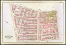
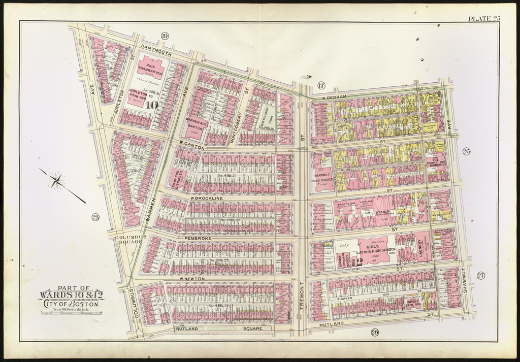
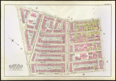
page, Plate 25: parts of wards 10 & 12; scale 80 feet to the inch; South End, Tremont Street
Type of Work
AtlasSubject
Cartography, Urban planning, Boston (Mass.), Atlases, United States -- Maps, Fire insurance maps, Historical geography --Maps, City planning, South End (Boston, Mass.)
Item is Part of
142985