MIT Libraries logoDome

MIT
View Item 
  • Dome Home
  • Visual Collections
  • Atlases of the City of Boston, G.W. Bromley & Co., 1883 & 1902
  • View Item
  • Dome Home
  • Visual Collections
  • Atlases of the City of Boston, G.W. Bromley & Co., 1883 & 1902
  • View Item
JavaScript is disabled for your browser. Some features of this site may not work without it.

Atlas of the City of Boston, Boston Proper and Back Bay, from Actual Surveys and Official Plans (1902)

G.W. Bromley & Co.
Thumbnail
Download174968_cp.jpg (281.1Kb)
Alternate file
174968_sv.jpg (1.676Mb)
174968_tm.jpg (40.97Kb)
URI
http://hdl.handle.net/1721.3/82426
Date
1902
Description
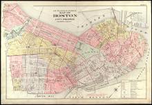
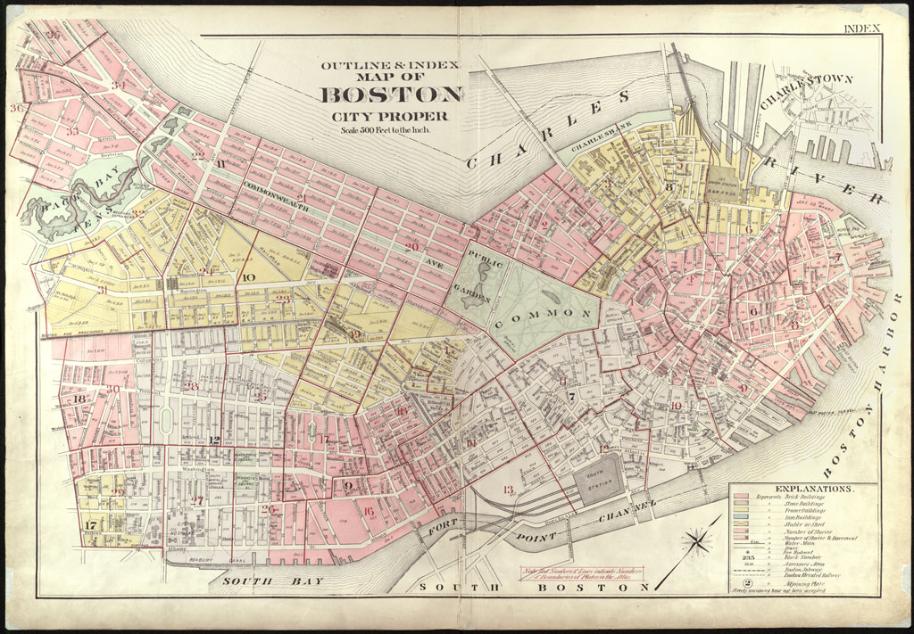
page, outline & index map of Boston city proper, scale 500 feet to the inch
Type of Work
Atlas
Subject
Cartography, Urban planning, Boston (Mass.), Atlases, United States -- Maps, Fire insurance maps, Historical geography --Maps, City planning
Item is Part of
142985
Metadata
Show full item record

Collections
  • Atlases of the City of Boston, G.W. Bromley & Co., 1883 & 1902

Browse

All of DomeCommunities & CollectionsBy Issue DateCreatorsTitlesSubjectsThis CollectionBy Issue DateCreatorsTitlesSubjects

My Account

Login
MIT Libraries
PrivacyPermissionsAccessibilityContact us
MIT
Content created by the MIT Libraries, CC BY-NC unless otherwise noted. Notify us about copyright concerns.