Map of Xian City during Qing Dynasty
| dc.creator | Unknown | en_US |
| dc.date | Unavailable | en_US |
| dc.date.accessioned | 2011-09-07T20:55:14Z | |
| dc.date.available | 2011-09-07T20:55:14Z | |
| dc.date.issued | Unavailable | en_US |
| dc.identifier | 162267 | en_US |
| dc.identifier.uri | http://hdl.handle.net/1721.3/71905 | en_US |
| dc.description | full view, blue marks show location of mosques | en_US |
| dc.format.medium | paper (fiber product) | en_US |
| dc.format.medium | ink | en_US |
| dc.relation.ispartof | 141553 | en_US |
| dc.rights | (c) Yueh-minne Chung 1985 | en_US |
| dc.subject | Maps | en_US |
| dc.subject | China --History | en_US |
| dc.subject | Historical geography --Maps | en_US |
| dc.subject | China --History --Qing dynasty, 1644-1912 | en_US |
| dc.subject | Xi’an Shi (China) | en_US |
| dc.subject | Mosques --China | en_US |
| dc.subject | Islam--China | en_US |
| dc.title | Map of Xian City during Qing Dynasty | en_US |
| dc.title.alternative | Map of Ching Dynasty, Xian | en_US |
| dc.type | Image | en_US |
| dc.rights.access | All rights reserved | en_US |
| dc.identifier.vendorcode | 0-2 | en_US |
| vra.culturalContext | Chinese | en_US |
| vra.technique | cartography | en_US |
| vra.worktype | Map | en_US |
| dc.contributor.display | Chinese | en_US |
Files in this item


This item appears in the following Collection(s)
-
Aga Khan Visual Archive
Images of architecture, urbanism, and the built environment in the Islamic world
Related items
Showing items related by title, author, creator and subject.
-
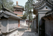
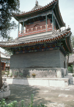
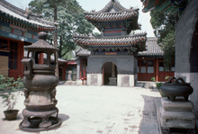
Niujie Mosque
(996) -
Niujie Mosque
(996) -
Niujie Mosque
(996)