| dc.coverage.temporal | creation date: 1974 | en_US |
| dc.creator | Peabody Museum of Archaeology and Ethnology | en_US |
| dc.date.accessioned | 2010-07-14T16:06:09Z | |
| dc.date.available | 2010-07-14T16:06:09Z | |
| dc.identifier | 145634 | en_US |
| dc.identifier.uri | http://hdl.handle.net/1721.3/53693 | en_US |
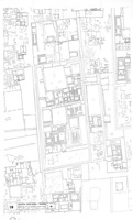
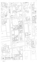
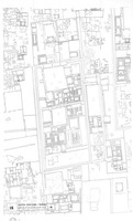
| dc.description | full view, plan 16: surveyed and drawn by Simon Platt, J. Rosell; based on aerial photographs | en_US |
| dc.format.medium | paper (fiber product) | en_US |
| dc.format.medium | ink | en_US |
| dc.relation.ispartof | 139873 | en_US |
| dc.subject | Ruins | en_US |
| dc.subject | Archaeological sites | en_US |
| dc.subject | Chan Chan Site (Peru) | en_US |
| dc.subject | Chimu Indians | en_US |
| dc.subject | Site plans | en_US |
| dc.title | Architectural Plan of Central Chan Chan - 'Rivero' | en_US |
| dc.type | Image | en_US |
| dc.rights.access | All rights reserved | en_US |
| dc.publisher.institution | Repository: Rotch Library, Massachusetts Institute of Technology (Cambridge, Massachusetts, United States) | en_US |
| vra.culturalContext | American | en_US |
| vra.technique | printing | en_US |
| vra.worktype | Plan (map) | en_US |
| dc.contributor.display | publisher: Peabody Museum of Archaeology and Ethnology | en_US |


