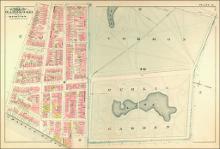
Atlas of the City of Boston, from Actual Surveys and Official Records; City Proper, Volume 1 (1883)
G.W. Bromley & Co.

Download139526_cp.jpg (193.5Kb)
Description
page, Plate Q: part of wards 9 & 10; scale 100 feet per inch; Beacon Hill, Public Garden, Boston Common
Type of Work
AtlasSubject
Cartography, Urban planning, Boston (Mass.), Atlases, United States -- Maps, Fire insurance maps, Historical geography --Maps, City planning, Public Garden (Boston, Mass.), Boston Common (Boston, Mass.)
Item is Part of
138996
Metadata
Show full item recordRelated items
Showing items related by title, author, creator and subject.
-
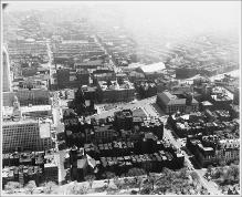
Aerial View Looking South, Copley Square, South End
Lynch, Kevin; Kepes, Gyorgy; Bichajian, Nishan (Repository: Rotch Visual Collections, Massachusetts Institute of Technology (Cambridge, Massachusetts, United States) ID: Kepes/Lynch Collection, 40.28, 1957) -
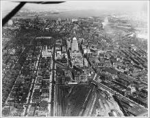
Aerial View from Plane, Looking East, Boylston Street to Intersection with Huntington Avenue, Large Rail Yard, John Hancock Building, Boston Skyline and Harbor in Background
Lynch, Kevin; Kepes, Gyorgy; Bichajian, Nishan (Repository: Rotch Visual Collections, Massachusetts Institute of Technology (Cambridge, Massachusetts, United States) ID: Kepes/Lynch Collection, 40.06, 1957) -
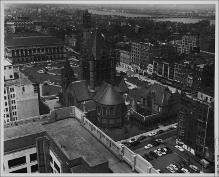
Copley Square from John Hancock Building
Lynch, Kevin; Kepes, Gyorgy; Bichajian, Nishan (Repository: Rotch Visual Collections, Massachusetts Institute of Technology (Cambridge, Massachusetts, United States) ID: Kepes/Lynch Collection, 12.35, 1954-1959)


