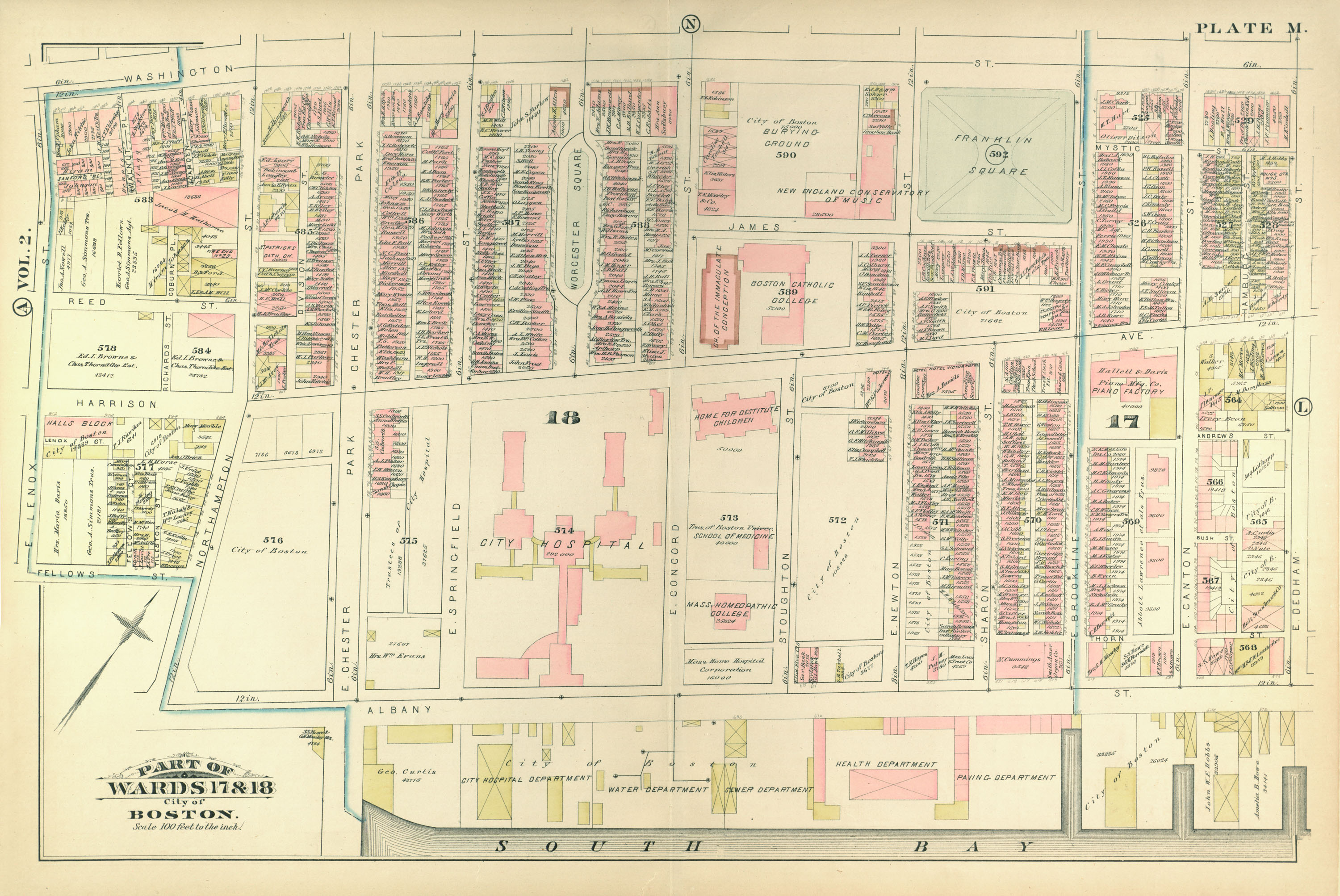
Atlas of the City of Boston, from Actual Surveys and Official Records; City Proper, Volume 1 (1883)
| dc.creator | G.W. Bromley & Co. | en_US |
| dc.date.accessioned | 2010-02-04T15:21:55Z | |
| dc.date.available | 2010-02-04T15:21:55Z | |
| dc.identifier | 139522 | en_US |
| dc.identifier.uri | http://hdl.handle.net/1721.3/48715 | en_US |
| dc.description | page, Plate M: part of wards 17 & 18; scale 100 feet per inch; South End, Washington Street, City Hospital, Franklin Square | en_US |
| dc.format.medium | paper (fiber product) | en_US |
| dc.format.medium | ink | en_US |
| dc.relation.ispartof | 138996 | en_US |
| dc.subject | Cartography | en_US |
| dc.subject | Urban planning | en_US |
| dc.subject | Boston (Mass.) | en_US |
| dc.subject | Atlases | en_US |
| dc.subject | United States -- Maps | en_US |
| dc.subject | Fire insurance maps | en_US |
| dc.subject | Historical geography --Maps | en_US |
| dc.subject | City planning | en_US |
| dc.subject | South End (Boston, Mass.) | en_US |
| dc.subject | Boston City Hospital (Boston, Mass.) | en_US |
| dc.title | Atlas of the City of Boston, from Actual Surveys and Official Records; City Proper, Volume 1 (1883) | en_US |
| dc.type | Image | en_US |
| dc.publisher.institution | Repository: Rotch Library, Massachusetts Institute of Technology (Cambridge, Massachusetts, United States) | en_US |
| vra.culturalContext | American | en_US |
| vra.technique | printing | en_US |
| vra.worktype | Atlas | en_US |
| dc.contributor.display | civil engineers: G.W. Bromley & Co. (American, founded late 19th century) | en_US |
Files in this item


This item appears in the following Collection(s)
-
Atlases of the City of Boston, G.W. Bromley & Co., 1883 & 1902
This collection contains the digitized plates of two atlases of Boston from actual surveys and official records made by the civil engineering firm G.W. Bromley & Co. for fire insurance purposes
Related items
Showing items related by title, author, creator and subject.
-
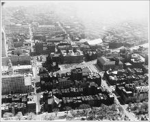
Aerial View Looking South, Copley Square, South End
(Repository: Rotch Visual Collections, Massachusetts Institute of Technology (Cambridge, Massachusetts, United States) ID: Kepes/Lynch Collection, 40.28, 1957) -
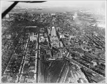
Aerial View from Plane, Looking East, Boylston Street to Intersection with Huntington Avenue, Large Rail Yard, John Hancock Building, Boston Skyline and Harbor in Background
(Repository: Rotch Visual Collections, Massachusetts Institute of Technology (Cambridge, Massachusetts, United States) ID: Kepes/Lynch Collection, 40.06, 1957) -
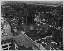
Copley Square from John Hancock Building
(Repository: Rotch Visual Collections, Massachusetts Institute of Technology (Cambridge, Massachusetts, United States) ID: Kepes/Lynch Collection, 12.35, 1954-1959)