| dc.coverage.temporal | other date: date depicted in map, ca. 1000, creation date: 20th century | en_US |
| dc.creator | Tibbetts, G. R. (Gerald Randall) | en_US |
| dc.date.accessioned | 2009-03-03T15:32:05Z | |
| dc.date.available | 2009-03-03T15:32:05Z | |
| dc.identifier | 125678 | en_US |
| dc.identifier.uri | http://hdl.handle.net/1721.3/36581 | en_US |
| dc.description | full view | en_US |
| dc.format.medium | paper (fiber product) | en_US |
| dc.format.medium | ink | en_US |
| dc.relation.ispartof | 136902 | en_US |
| dc.rights | (c) Prataap Patrose, Courtesy of the Aga Khan Visual Archive, MIT | en_US |
| dc.subject | Cartography | en_US |
| dc.subject | Ghaznavid | en_US |
| dc.subject | Indian Ocean | en_US |
| dc.subject | Historical geography --Maps | en_US |
| dc.subject | Topographic maps | en_US |
| dc.subject | Southeast Asia | en_US |
| dc.subject | India -- Maps | en_US |
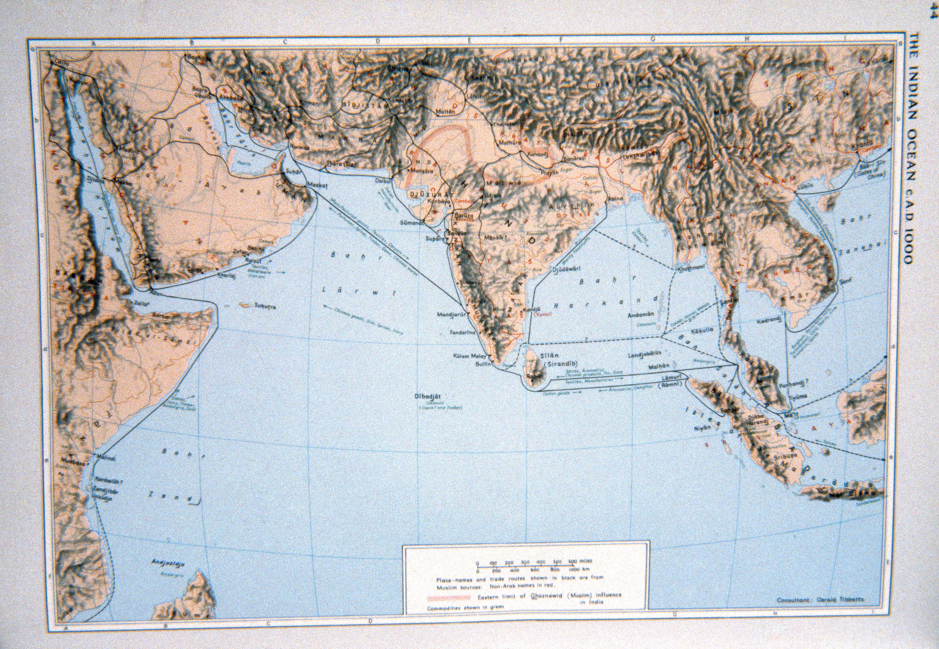
| dc.title | The Indian Ocean c. A.D. 1000 | en_US |
| dc.type | Image | en_US |
| dc.rights.access | All rights reserved | en_US |
| dc.identifier.vendorcode | 43-12 | en_US |
| vra.culturalContext | Indian (South Asian) | en_US |
| vra.technique | cartography | en_US |
| vra.worktype | Map | en_US |
| dc.contributor.display | consultant: G. R. (Gerald Randall) Tibbetts (American, died 1999) | en_US |