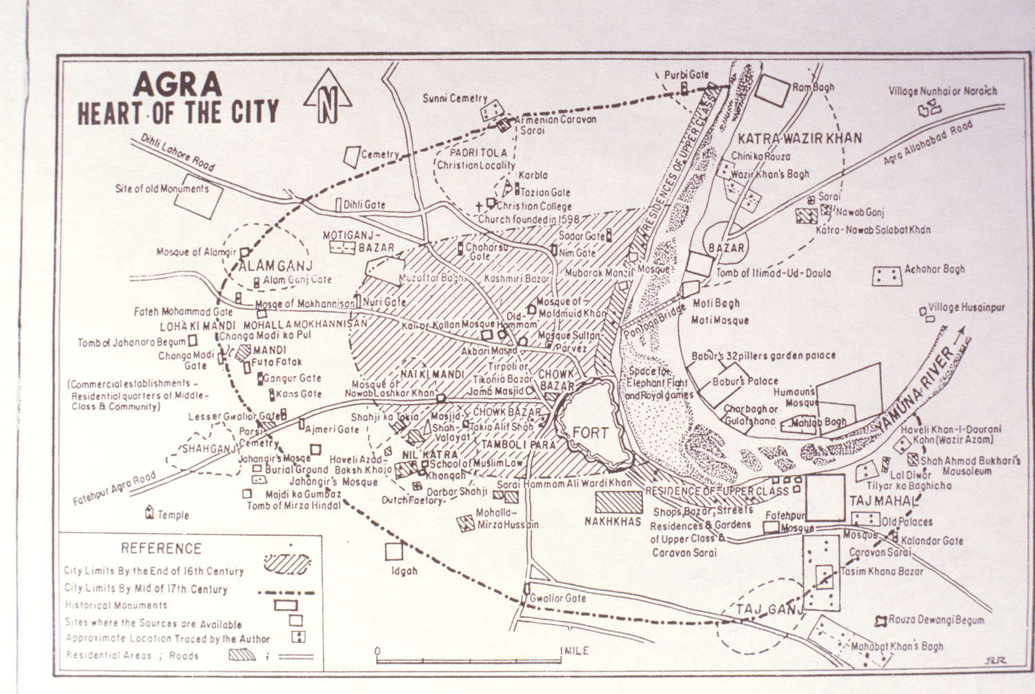
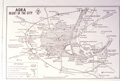
Agra: Heart of the City
| dc.coverage.temporal | creation date: ca. 1986 | en_US |
| dc.creator | Gupta, I. P. (Ishwar Prakash) | en_US |
| dc.date | ca. 1986 | en_US |
| dc.date.accessioned | 2009-02-06T18:17:18Z | |
| dc.date.available | 2009-02-06T18:17:18Z | |
| dc.date.issued | 1981-1991 | en_US |
| dc.identifier | 121711 | en_US |
| dc.identifier.uri | http://hdl.handle.net/1721.3/33607 | en_US |
| dc.description | full view | en_US |
| dc.format.medium | paper (fiber product) | en_US |
| dc.format.medium | ink | en_US |
| dc.relation.ispartof | 137209 | en_US |
| dc.rights | (c) James Wescoat | en_US |
| dc.subject | Taj Mahal (Agra, India) | en_US |
| dc.subject | Mogul Empire | en_US |
| dc.subject | Historical geography --Maps | en_US |
| dc.subject | Cities and towns -- India | en_US |
| dc.subject | Yamuna River (India) | en_US |
| dc.subject | Agra Fort (Agra, India) | en_US |
| dc.subject | Agra (India)--Maps | en_US |
| dc.title | Agra: Heart of the City | en_US |
| dc.type | Image | en_US |
| dc.rights.access | All rights reserved | en_US |
| vra.culturalContext | Indian (South Asian) | en_US |
| vra.technique | cartography | en_US |
| vra.worktype | Map | en_US |
| dc.contributor.display | cartographer: I. P. (Ishwar Prakash) Gupta (Indian (South Asian), 20th century) | en_US |
Files in this item


This item appears in the following Collection(s)
-
Aga Khan Visual Archive
Images of architecture, urbanism, and the built environment in the Islamic world
Related items
Showing items related by title, author, creator and subject.
-
City of Srinagar
(-299--200) -
Shalimar Bagh
(1619-1630) -
Shalimar Bagh
(1619-1630)