| dc.coverage.temporal | publication date: 1923 | en_US |
| dc.creator | Bartholomew, Harland | en_US |
| dc.creator | City Planning Commission of Wichita | en_US |
| dc.date | 1923 | en_US |
| dc.date.accessioned | 2016-01-12T16:32:45Z | |
| dc.date.available | 2016-01-12T16:32:45Z | |
| dc.date.issued | 1923 | en_US |
| dc.identifier | 260510 | en_US |
| dc.identifier.uri | http://hdl.handle.net/1721.3/176291 | |
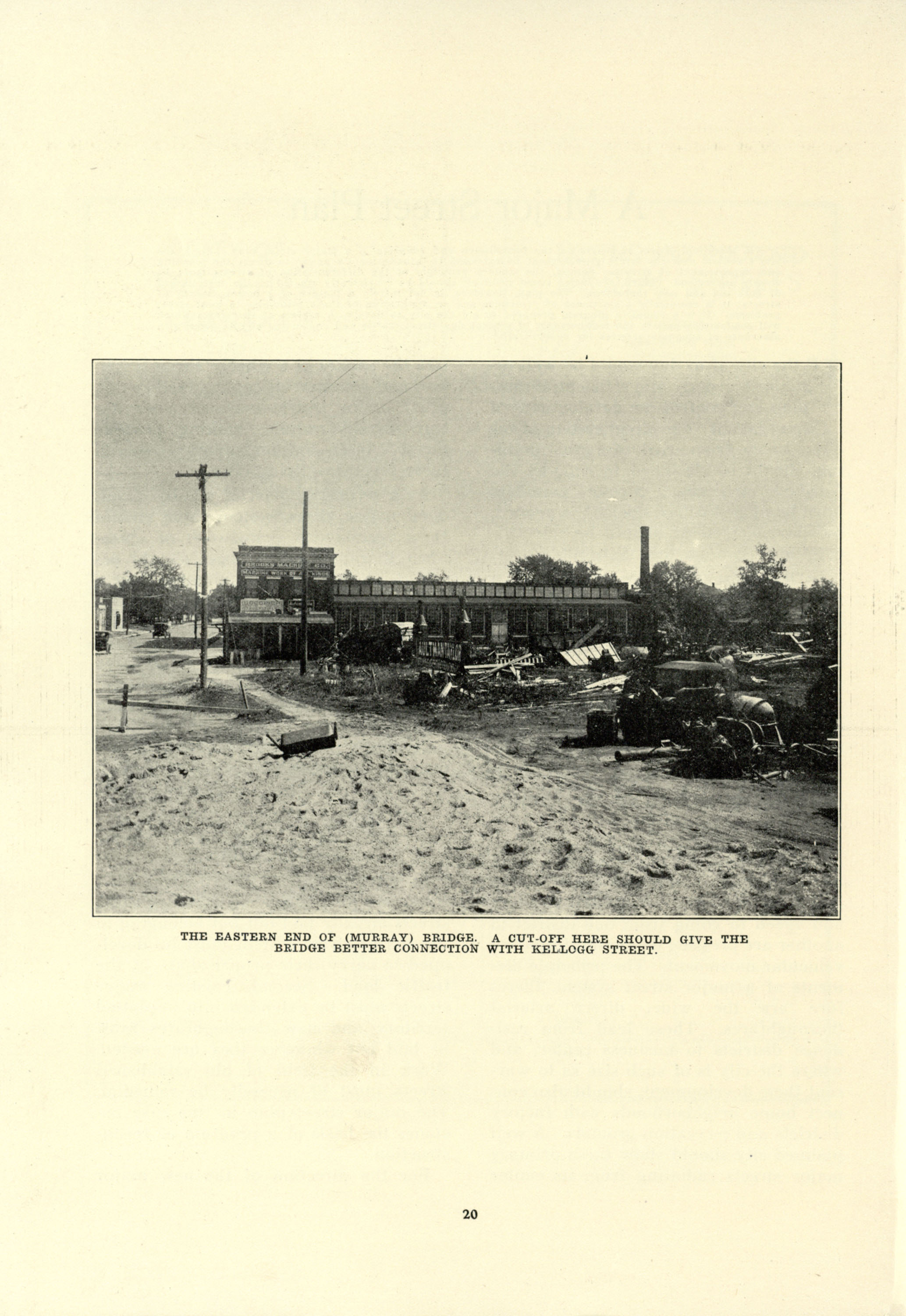
| dc.description | photograph, The eastern end of (Murray) Bridge. A cut-off here should give the bridge better connection with Kellogg Street | en_US |
| dc.format.medium | paper (fiber product) | en_US |
| dc.format.medium | ink | en_US |
| dc.relation.ispartof | 144732 | en_US |
| dc.subject | Kansas | en_US |
| dc.subject | Urban planning | en_US |
| dc.subject | Wichita (Kans.) | en_US |
| dc.subject | City planning -- Kansas | en_US |
| dc.subject | Bridges | en_US |
| dc.subject | Streetscapes | en_US |
| dc.title | A Comprehensive City Plan for Wichita, Kansas | en_US |
| dc.type | Image | en_US |
| dc.identifier.vendorcode | Wichita_024.tif | en_US |
| vra.culturalContext | American | en_US |
| vra.technique | printing | en_US |
| vra.worktype | Municipal plan | en_US |
| dc.contributor.display | City planner: City Planning Commission of Wichita (American, founded 1917), Consultant: Harland Bartholomew (American, 1889-1989) | en_US |