| dc.coverage.spatial | Creation Site: Boston, Massachusetts, United States, North and Central America, | en_US |
| dc.coverage.temporal | ca. 2003 (creation) | en_US |
| dc.creator | Gilchrist, Scott | en_US |
| dc.date | 2003 | en_US |
| dc.date.accessioned | 2013-04-12T18:02:41Z | |
| dc.date.available | 2013-04-12T18:02:41Z | |
| dc.date.issued | 2003 | en_US |
| dc.identifier | 207863 | en_US |
| dc.identifier.other | archrefid: 917 | en_US |
| dc.identifier.uri | http://hdl.handle.net/1721.3/115731 | |
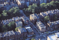
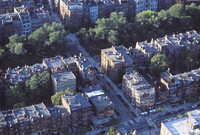
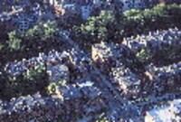
| dc.description | View into the Back Bay, showing Commonwealth Avenue (with trees in the center) and Newbury Street (lower right); The largest city in New England, Boston is considered the unofficial economic and cultural center of the entire New England region. The city, which had an estimated population of 596,763 in 2006, lies at the center of the Cambridge-Boston-Quincy metropolitan area-the 11th-largest metropolitan area (5th largest CSA) in the U.S., with a population of 4.4 million. Source: Wikipedia; http://en.wikipedia.org/wiki/Main_Page (accessed 1/30/2008) | en_US |
| dc.rights | © Scott Gilchrist, Archivision, Inc. | en_US |
| dc.subject | architectural exteriors | en_US |
| dc.subject | cityscapes | en_US |
| dc.subject | contemporary (1960 to present) | en_US |
| dc.subject | Aerial photography in city planning | en_US |
| dc.subject | topographical views | en_US |
| dc.subject | Twenty-first century | en_US |
| dc.title | Boston: Aerial Topographic Views (from Prudential Tower) | en_US |
| dc.type | image | en_US |
| dc.rights.access | Licensed for educational and research use by the MIT community only | en_US |
| dc.identifier.vendorcode | 1A2-US-B-BAV-B11 | en_US |
| vra.culturalContext | American | en_US |
| vra.technique | photography | en_US |
| vra.worktype | photograph | en_US |
| vra.worktype | topographical view | en_US |
| dc.contributor.display | Scott Gilchrist (Canadian photographer, born 1960) | en_US |


