| dc.coverage.spatial | Site: Upper Egypt, Egypt | en_US |
| dc.coverage.temporal | 2003 (creation) | en_US |
| dc.creator | Gilchrist, Scott | en_US |
| dc.date | 2003 | en_US |
| dc.date.accessioned | 2013-04-12T14:55:35Z | |
| dc.date.available | 2013-04-12T14:55:35Z | |
| dc.date.issued | 2003 | en_US |
| dc.identifier | 206755 | en_US |
| dc.identifier.other | archrefid: 942 | en_US |
| dc.identifier.uri | http://hdl.handle.net/1721.3/114638 | |
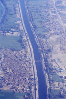
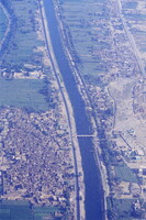
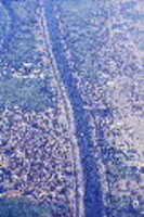
| dc.description | Aerial view showing settlements on both side of the Nile (Thebes and the West Bank are left); Aerial view of the cities of on both sides of the Nile at Luxor [Al Usqr]. | en_US |
| dc.rights | © Scott Gilchrist, Archivision, Inc. | en_US |
| dc.subject | cityscapes | en_US |
| dc.subject | contemporary (1960 to present) | en_US |
| dc.subject | Aerial photography in city planning | en_US |
| dc.subject | Twenty-first century | en_US |
| dc.title | Nile Settlement: Topographic Views | en_US |
| dc.type | image | en_US |
| dc.rights.access | Licensed for educational and research use by the MIT community only | en_US |
| dc.identifier.vendorcode | 1A2-EG-NS-A1 | en_US |
| vra.culturalContext | Egyptian (modern) | en_US |
| vra.technique | photography | en_US |
| vra.worktype | photograph | en_US |
| dc.contributor.display | Scott Gilchrist (Canadian photographer, born 1960) | en_US |


