| dc.coverage.spatial | Site: Tunis (Tunisia) | en_US |
| dc.coverage.temporal | creation date: laid out by the French, 19th century | en_US |
| dc.creator | Unknown | en_US |
| dc.date | 19th century | en_US |
| dc.date.accessioned | 2013-04-02T17:22:09Z | |
| dc.date.available | 2013-04-02T17:22:09Z | |
| dc.date.issued | 1800-1899 | en_US |
| dc.identifier | 176487 | en_US |
| dc.identifier.uri | http://hdl.handle.net/1721.3/111995 | |
| dc.description | Tunis' main street, a wide, tree-lined pedestrian boulevard that connects the port and the medina. The name was changed from Avenue Jules Ferry to Avenue Habib Bourguiba after independence. | en_US |
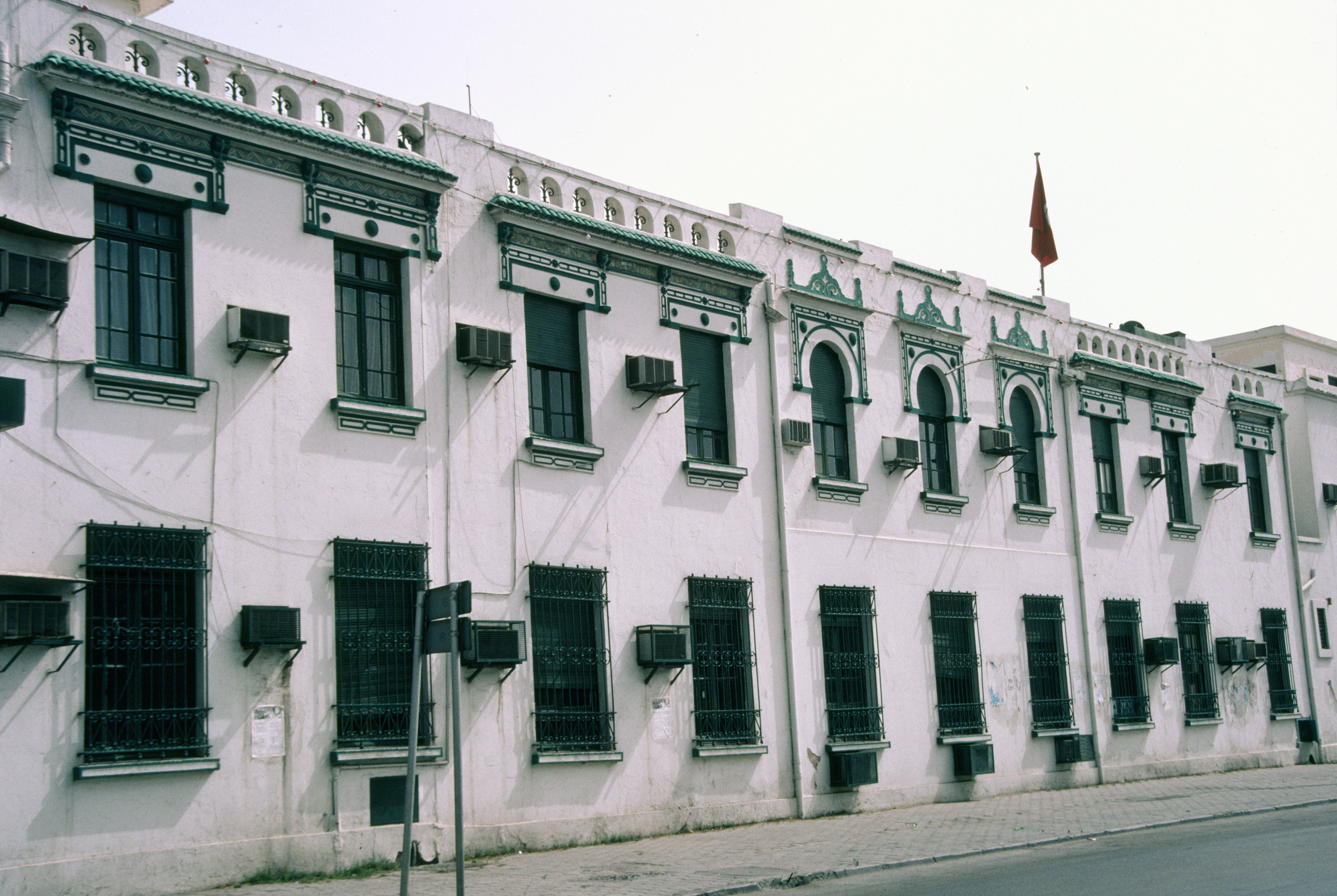
| dc.description | exterior, early 20th century building, possibly the Socéité pour le Santé, 1993 | en_US |
| dc.relation.ispartof | 143188 | en_US |
| dc.rights | (c) 1993 Ahmet Ersoy | en_US |
| dc.subject | Roads | en_US |
| dc.subject | Streets | en_US |
| dc.subject | Pedestrian areas | en_US |
| dc.subject | Architecture --Tunisia | en_US |
| dc.subject | Africa, North | en_US |
| dc.subject | Architecture, French colonial | en_US |
| dc.subject | Boulevards | en_US |
| dc.subject | Maghreb | en_US |
| dc.title | Avenue Habib Bourguiba | en_US |
| dc.title.alternative | Shaarix al-Habib Bourguiba | en_US |
| dc.title.alternative | Avenue Jules-Ferry | en_US |
| dc.type | Image | en_US |
| dc.rights.access | All rights reserved | en_US |
| dc.identifier.vendorcode | 18-1 | en_US |
| vra.culturalContext | Tunisian | en_US |
| vra.culturalContext | French | en_US |
| vra.technique | paving | en_US |
| vra.worktype | Road | en_US |
| dc.contributor.display | Tunisian, French | en_US |