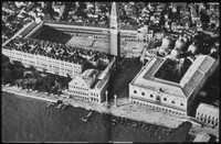
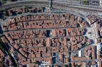
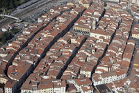
Town of Firenzuola
| dc.coverage.spatial | Site: Firenzuola (Tuscany, Italy) | en_US |
| dc.coverage.temporal | creation date: settled, 14th century | en_US |
| dc.creator | Unknown | en_US |
| dc.date | 14th century | en_US |
| dc.date.accessioned | 2010-03-04T15:43:27Z | |
| dc.date.available | 2010-03-04T15:43:27Z | |
| dc.date.issued | 1300-1399 | en_US |
| dc.identifier | 140084 | en_US |
| dc.identifier.uri | http://hdl.handle.net/1721.3/49811 | en_US |
| dc.description | aerial view, view south over town, walls, and Via di Lando, toward mountain pass connecting Florence and Firenzuola, October 3, 2009 | en_US |
| dc.relation.ispartof | 139172 | en_US |
| dc.rights | © Alex S. MacLean / Landslides | en_US |
| dc.subject | Urban planning | en_US |
| dc.subject | Tuscany (Italy) | en_US |
| dc.subject | Land use, Urban | en_US |
| dc.subject | Cities and towns -- Italy | en_US |
| dc.subject | City planning -- Italy | en_US |
| dc.subject | Aerial views | en_US |
| dc.subject | Agricultural land | en_US |
| dc.subject | Rivers -- Italy | en_US |
| dc.subject | Aerial photography -- Italy | en_US |
| dc.title | Town of Firenzuola | en_US |
| dc.type | Image | en_US |
| dc.rights.access | Licensed for educational and research use by the MIT community only | en_US |
| dc.identifier.vendorcode | 091003-0089 | en_US |
| vra.culturalContext | Italian | en_US |
| vra.technique | construction | en_US |
| vra.worktype | Town | en_US |
| dc.contributor.display | Italian | en_US |
Files in this item


This item appears in the following Collection(s)
-
Aerial Photography
Aerial Photography
Related items
Showing items related by title, author, creator and subject.
-
Town of Montevarchi
(1100-1199) -
Town of Montevarchi
(1100-1199)