| dc.coverage.spatial | Site: Boston (Massachusetts, United States) | en_US |
| dc.coverage.temporal | creation date: first parcel of land subdivided, 1830s, creation date: hilltop fort designed as a park, 1895 | en_US |
| dc.creator | Olmsted, Frederick Law | en_US |
| dc.date | 1830s | en_US |
| dc.date.accessioned | 2014-01-23T18:21:40Z | |
| dc.date.available | 2014-01-23T18:21:40Z | |
| dc.date.issued | 1831-1839 | en_US |
| dc.identifier | 165928 | en_US |
| dc.identifier.uri | http://hdl.handle.net/1721.3/156288 | |
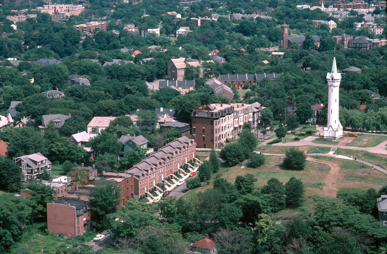
| dc.description | Fashionable development featuring fine views, good air, proximity to city. Situated near the only land route to and from Boston. | en_US |
| dc.description | aerial view, aerial view of neighborhood, with Cochituate Standpipe, 1987 | en_US |
| dc.relation.ispartof | 141866 | en_US |
| dc.rights | © Alex S. MacLean / Landslides | en_US |
| dc.subject | Fortifications | en_US |
| dc.subject | Neighborhoods | en_US |
| dc.subject | Land use, Urban | en_US |
| dc.subject | City planning | en_US |
| dc.subject | Housing developments | en_US |
| dc.subject | Roxbury (Boston, Mass.) | en_US |
| dc.subject | Historic districts | en_US |
| dc.subject | Residential districts | en_US |
| dc.subject | Aerial views | en_US |
| dc.subject | Water towers | en_US |
| dc.subject | Aerial photography --United States | en_US |
| dc.subject | Boston Suburbs - Chapter 1 - Pre-1865 | en_US |
| dc.title | Fort Hill | en_US |
| dc.title.alternative | Highland Park | en_US |
| dc.type | Image | en_US |
| dc.rights.access | All rights reserved | en_US |
| dc.identifier.vendorcode | 1.115 | en_US |
| vra.culturalContext | American | en_US |
| vra.technique | construction | en_US |
| vra.worktype | Neighborhood, Housing development | en_US |
| dc.contributor.display | landscape architect: park designed by Frederick Law Olmsted (American, 1822-1903) | en_US |